We left the Sunset Marina in Rock Island, IL at 9 AM. It had been an interesting evening. A young man named CJ stopped by to talk with us. He lives aboard his sailboat in this harbor, goes to school to be a chiropractor, and looks to be all of 23. He noted that during July of 2014, the water in the marina was so low, that the boats were sitting on the bottom of the lagoon, and could not move. We heard tales all the way down the river either about how high the river was, and how low it was.
Part of our communication system includes a Daily Digest email that is distributed by the AGLCA (America’s Great Loop Cruisers Association.) The Great Loop is the route for the type of trip we are taking.

Boaters doing the loop, or a part of the loop, will often add to the Daily
Digest, asking questions, giving advice, or telling about water conditions
and challenges. Last week, we learned that loopers had been waiting
for 2 weeks, and possibly longer in Grafton, IL because of heavy flooding
from the Ohio River and Missouri feeding into the Mississippi, causing swift
currents, and lots of debris clogging the rivers. So the river is a mercurial
thing, and I believe that when mankind thinks that they are in charge of the
world, then they should look to the rivers.
Nature seems to be in charge.
When we were in Dubuque, visiting the National Mississippi River Museum, we were astounded by how large the Mississippi Watershed area is, and how much water gets dumped into the Mississippi!

We motored along, following our charts. Our chart book for the Upper Half of the Mississippi is about two inches thick. On the river there are mile markers, and they are how we navigate, and know where the heck we are! It also shows where the wing dams are. (A wing dam is a manmade barrier that is underwater, and unlike a conventional dam, only extends partway into a river. They are made from rocks, or concrete. They force water into a fast-moving center channel which reduces the rate of sediment accumulation while slowing water flow near the riverbanks.) Wing dams are underwater.
You sure don’t want to hit one!
It was a fine day. Weather was good. and we anchored out by a small island called Little Cody Island. It is on the RDB 422 (that is Right Downriver Bank at mile 422). It was a beautiful night. Tim had his Jameson, I had my brandy and we watched the sunset.
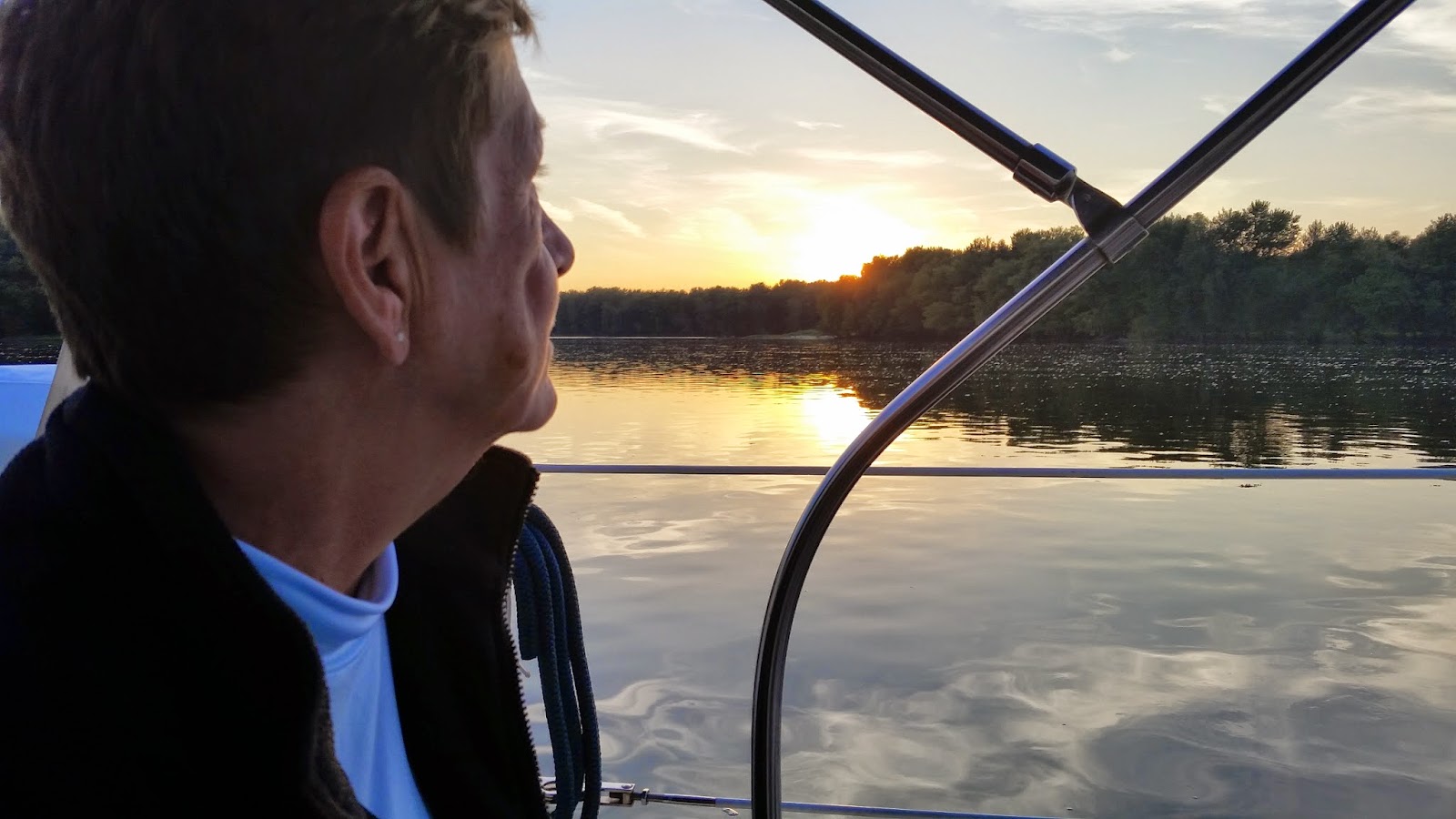 |
| Kathy watching the Sunset at Little Cody Island, IA |
An occasional barge passed in the channel, but the only other sound was the sounds of Cicadas and the river lapping at our boat. We slept well.
No comments:
Post a Comment